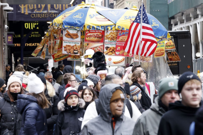
In the Interstate 95 zone from Washington, to Philadelphia, New York City and Boston, a storm later this week will bring periods of rain and drizzle with the wet conditions on the highways. File Photo by John Angelillo/UPI | License Photo
A storm will pass through the northeastern United States from Thursday to Friday as cold air sounds the retreat. However, travel delays are likely due to areas of drenching rain and fog for most, snow for the northern tier and patches of ice in between, AccuWeather meteorologists warn. The storm will track eastward from the Ohio Valley to the mid-Atlantic coast prior to the end of the week. The same storm was responsible for the latest atmospheric river that delivered flooding rain and heavy snow in California at the start of the week. Even though the storm will be a shell of its former self, it will still cause issues in the Northeast. Advertisement
“This storm will mostly be a rainmaker from southern New England to Pennsylvania and points on south as there is just not enough cold air to support snow,” AccuWeather senior meteorologist Brett Anderson said.
Advertisement
But within the rain zone, there will be areas where the ground remains cold at the onset of the storm, from sections of northern Pennsylvania through central Massachusetts, southeastern New Hampshire and southern Maine. This may result in a brief glaze of ice, which can lead to some slippery spots, especially on bridges and overpasses, Thursday night into Friday morning, Anderson cautioned.
Farther north, where the cold air will be more extensive, the precipitation will fall mostly as snow. A general coating to 2 inches is likely from the Catskills of New York to northern Maine. The highest elevations of northeastern New York, Vermont, New Hampshire and Maine may receive 3-6 inches of snow through Friday evening.
“Most of the well-traveled roads in northern New England are at low elevations, and only a small accumulation of snow is expected,” Anderson said. “But, where sleet and freezing rain occur, roads can be especially slippery, even in the valleys.”
In the Interstate 95 zone from Washington, to Philadelphia, New York City and Boston, this storm will bring periods of rain and drizzle with the wet conditions on the highways, bringing the typical travel issues from slick conditions and poor visibility from blowing spray.
Advertisement
Anytime mild, moist air flows over cold ground or snow cover, there is the potential for locally dense fog to form. Fog could be especially troublesome in the higher elevations and perhaps near the Atlantic coast — close to the source of the moisture. Airline delays, such as ground stops, are possible. In this case, aircraft are held at the departure point until visibility has improved at the destination airport.
In the wake of the storm, colder air will sweep in, but in a delayed fashion.
Much of Friday will be mild, with temperatures from 5 to 15 degrees above historical averages in much of the mid-Atlantic, southern New England and the central Appalachians.
Colder air will charge southeastward across Ontario and will spread over the eastern Great Lakes and the central Appalachians later Friday night and then the southern Appalachians and the Atlantic coast on Saturday.
As the cold air drills in, temperatures may hold steady or may fall during the day on Saturday in some areas. Temperatures will be no higher than the 20s from the eastern Great Lakes to the central Appalachians and the 30s over much of the I-95 zone. In northern New England, temperatures will hover in the 10s.
Advertisement
Because the air will trend colder even faster at mid-levels of the atmosphere, unstable conditions will develop and lead to flurries, snow showers and heavier snow squalls from New England to the southern Appalachians and Piedmont. The most concentrated activity may end up being over the interior Southeast.
Deadly chain reaction accidents have occurred on the highways in conditions similar to those expected on Saturday.
Any of the heavier snow squalls will raise the risk of a sudden drop in visibility and a flash coating of snow that can make roads slippery in seconds. Forecasters urge motorists venturing on the highways on Saturday to keep alert for rapidly changing weather conditions, and to reduce speed and allow plenty of stopping distance should an emergency situation develop.
The cold blast will be a brief one as temperatures will rebound from Sunday to Monday. For example, in New York City, following a high in the mid-30s on Saturday, temperatures will reach the mid-40s on Sunday then the low 50s on Monday.


